
Benton County Previous Residents Sources
A backward address search works best as a time ladder. Current parcel data supplies the stable parcel and legal description. Recorded instruments then name owners, while directories, census schedules, maps, and news sources test who may have used the place. Benton County past residents can therefore be traced across several sources without treating any one roll as a full household list.
| Source | Confirmed Time Span | Local Access Point | Evidence Supplied |
|---|---|---|---|
| Assessor and GIS | Current, with unspecified transfer history | Benton County online tools or Assessor counter | Owner, address, parcel, legal description, deed and plat links |
| Deed name index | May 3, 1945 to present | Circuit Clerk/Recorder BIS search | Grantor and grantee trail |
| Deed images | January 31, 1933 to present | BIS images or Recorder counter | Instrument text and legal description |
| Historical deeds and taxes | Deed films 1837 to 2015; tax indexes 1837 to 1899 | Benton County Historical Society | Early title and tax-name bridges |
| Local directories | Begins with a confirmed 1904 volume; later run unpublished | Rogers Historical Museum | Named subscribers, addresses, and business clues |
| Census and Sanborn maps | Public census through 1950; city-specific map years | Local repositories, HeritageQuest, and Library of Congress | Households, structures, blocks, and period street context |
Begin with the newest source that still overlaps the date in question. A recent address starts with the county parcel record and its deed reference. An early farm may move from deeds into tax rolls and census schedules long before a city directory exists. Keep title, contact, and occupancy in separate notes. A titled owner may never have lived at the site, and a telephone subscriber may represent just one person in a larger household.
Benton County Past Residents Deeds
The official online dates do not form one neat boundary. The BIS search FAQ says the deed name index begins May 3, 1945, but deed images reach January 31, 1933. A book and page found in a physical index can therefore unlock an online image that a name search alone cannot discover. The county's broader summary gives shorter dates for some land categories, so early coverage deserves a phone check with the Recorder at 479-271-1017.
The BIS service charges $0.25 per page for pay-as-you-go images. Unlimited search and image viewing costs $80 per month, while bulk image downloads cost $150 per month. These prices make the free parcel record a useful starting bridge, but not a substitute for the recorded deed. The Recorder counter at 215 E Central Avenue, Room 202, Bentonville, is open weekdays from 8:00 to 4:30, with recording ending at 4:15.
The captured BIS land-record entry page opens with the Circuit Clerk's legal disclaimer before the search.
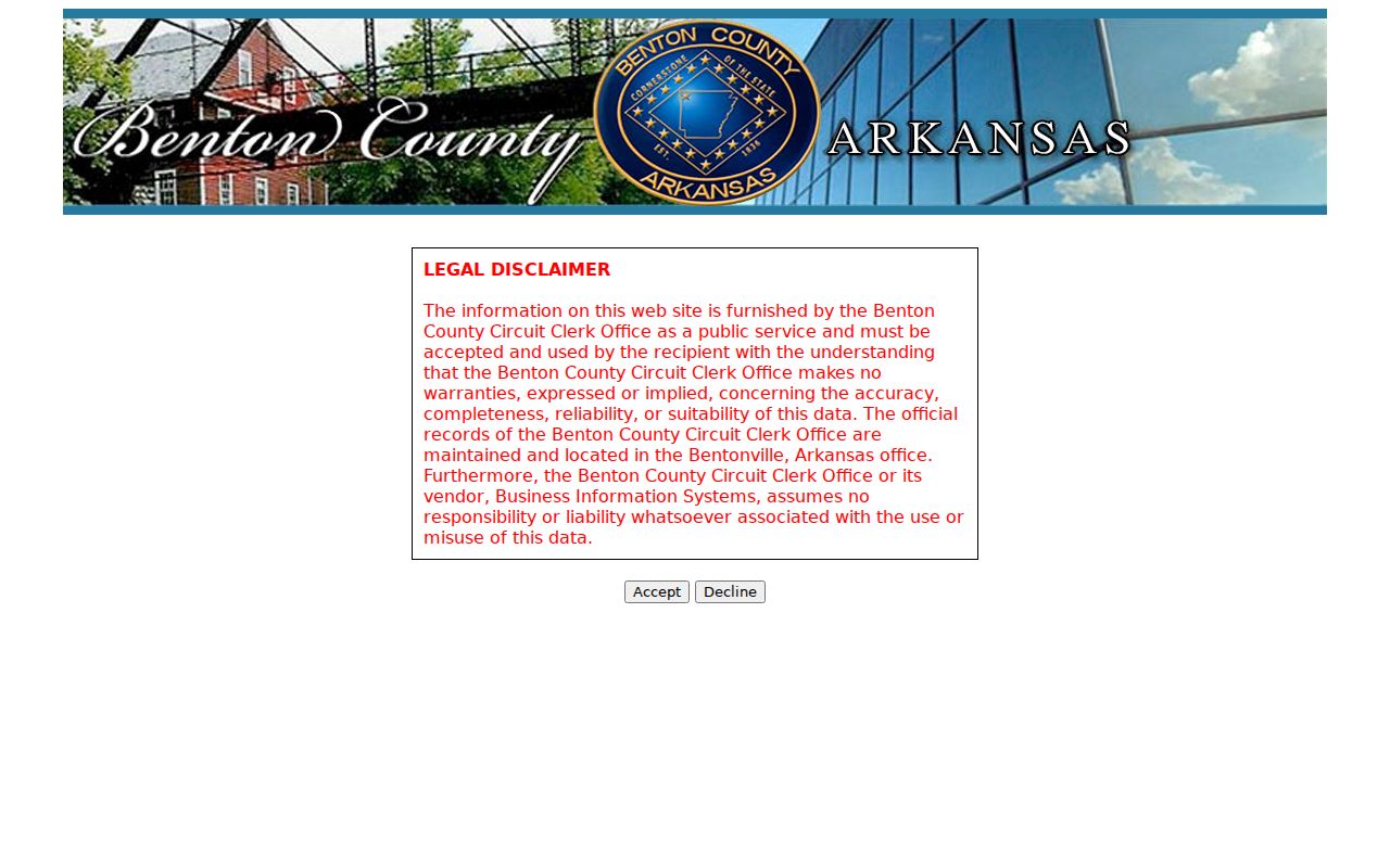
The notice distinguishes the portal data from the official records kept in Bentonville, which is why a counter check remains important.
Note: A blank pre-1945 name result does not prove that no Benton County deed exists for the parcel.
Trace Benton County Past Residents
A reliable chain of title moves from today toward the past. First use County Property Information or the Benton County Assessor to identify the parcel, current owner, deed reference, lot and block, subdivision, or section-township-range. The legal description is the control key. Names and street labels can shift, but title instruments should continue to describe the same land.
- Record the parcel ID, situs address, legal description, current owner, and current deed reference.
- Open the current deed. Copy the grantee, grantor, recording date, and book/page or later “L” instrument number.
- Search the seller as a grantee in an earlier date range. Confirm the same lot, block, subdivision, or land description.
- Repeat the transfer link. Before the online index, ask for the matching grantor and grantee book at the Recorder counter.
- Build a second occupancy line from directories, census, news, and probate. Do not merge the lines unless dates and place agree.
- Grantor and grantee
- The grantor conveys an interest; the grantee receives it.
- Chain of title
- The linked sequence of recorded transfers for the same land.
- Legal description
- The deed's formal land identifier, such as lot and block or section-township-range.
- Situs address
- The physical parcel location, which may differ from the owner's mailing address.
Before October 30, 2017, Benton County land documents use book and page. Later instruments use a number beginning with “L.” Preserve the format shown in each result. It is the most direct route back to the image and helps staff find a record when spelling or indexing causes a failed name search.
Benton County Past Residents Offline
The gap between image coverage and the name index rewards careful counter work. Ask the Benton County Circuit Clerk/Recorder for the grantor or grantee index that covers the suspected transfer year. Give the exact name variants, record type, date range, and any known book/page. For payment or account help, BIS lists 866-658-0865 and onlineservices@bisonline.com. A focused request is more useful than asking staff to perform a broad family history search.
Arkansas Freedom of Information Act requests are another path to existing, nonexempt records. They should identify the parcel, instrument, date, and format sought. The statute does not turn an office into a research service, nor does it open sealed or protected material. Inspection and a requester's own image capture are normally free, while copies may be charged at actual reproduction cost.
The county Assessor is a correction and context channel. The Real Estate Department at 2109 W Walnut Street in Rogers can be reached at 479-271-1037 or realestate@bentoncountyar.gov. A just-recorded sale may not yet appear on the roll. The recorded deed controls the transfer, while the assessor record can lag.
Benton County Records Reach 1837
The Benton County Historical Society is the strongest verified bridge before the modern web index. Its printable deed films span 1837 through 2015. Personal-property and real-estate tax surname indexes cover 1837 through 1899, while lots-and-blocks indexing begins in 1871. Assessor Books A and B, original plats, cemetery material, newspapers, and family files can place a name near a tract when a street address did not yet function as today's address does.
The direct and indirect deed surname index for 1900 through 1912 is still in progress. That quirk matters. A missing surname entry may reflect unfinished indexing rather than an absent instrument, so deed film and physical book review can outperform a quick index search. The society is open Tuesday through Friday from 10:00 to 3:00 without an appointment.
The Historical Society's public collection view gives a useful preview of the archive that extends a past residents search beyond the recorder portal. Its tax names, plats, and filmed deeds support the oldest part of the time ladder, where those records are often stronger than modern street text.
Benton County Past Residents Timeline
Ownership is only half the test for past residents. Rogers Historical Museum confirms local city and business telephone directories beginning with a 1904 edition, but it does not publish a full year-by-year run or verified reverse-directory dates. Treat those gaps openly. The museum also holds early newspaper runs, cemetery and funeral-home files, obituaries, maps, name and place vertical files, and census transcriptions for Benton County in 1840, 1850, and 1860 and Rogers in 1900 and 1910.
- Search the nearest directory year before and after the target date. Copy the entry exactly, including initials and address form.
- Pair it with a public federal census checkpoint, available through 1950 under the 72-year rule.
- Compare nearby names, household ties, and occupations without assuming the directory subscriber lists all who lived there.
- Use a period Sanborn map to confirm block numbers, street form, building footprint, and use.
- When a name vanishes, check newspapers, obituaries, cemetery files, probate, and the next deed.
Bentonville Public Library's HeritageQuest access adds city directories, census aids, Indian census rolls, and special schedules. The exact historical collection and how entries should be read receive fuller treatment on the Benton County city directory page. Here, the key is to bracket a move rather than force one source to prove an entire household.
Benton County Address Records
Period maps keep an old address attached to the right parcel. Verified Sanborn sets include Bentonville editions from 1886 through 1940, Rogers editions from 1896 through 1914, and Siloam Springs editions from 1897 through 1948, plus editions for Decatur, Gentry, and Gravette. They show building footprints, materials, street and block numbers, and uses. They do not name ordinary occupants.
Rogers renamed West Capitol Avenue as Founders Way in 2021. A search limited to the new name can miss old directories, permits, and news references. Bentonville annexation history can also change jurisdiction without changing the land itself. Translate the period street label with the 1903 county atlas, Sanborn sheets, plats, and legal description before deciding that past residents moved.
Permit material can date recent change. Benton County's building guide asks for the owner, assigned project address, city, ZIP, parcel number, work description, and contact details. The current system's archive start was not verified, so older permit access should be requested from the relevant city or county building office rather than assigned an invented date.
Note: A changed street name is a search problem; a matching legal description is stronger evidence that the land stayed the same.
Benton County Past Residents Endpoints
Obituaries and probate files often explain why a name leaves the address trail. The Rogers museum holds named newspaper runs from 1896 forward, obituary volumes, and related files. Benton County Historical Society reports obituaries from 1884 through 1933. Newspaper title changes matter: Benton County Democrat became Daily Record, and Rogers Daily News became Northwest Arkansas Morning News. A search should follow the title that existed in the relevant year.
The Benton County Clerk Probate Division, at 102 NE A Street, Room 206 in Bentonville, can be reached at 479-271-5727. Public probate material may name a decedent, personal representative, heirs, and property. Not every file contains current addresses, and sealed or redacted content remains unavailable. A useful flow is decedent name to probate file, then representative or public heirs, legal description, deed, obituary, and cemetery evidence.
These endpoints can explain a transfer to an estate, sale by heirs, or a household's disappearance between directory years. Record the document date and what the source actually states. An obituary can connect kin; it does not itself convey title. A probate inventory may identify land; the later recorded deed shows the transfer.
Legal Limits for Benton County Residents
House history, family history, estate research, and personal curiosity are sound reasons to follow a Benton County address through old records. Living people deserve care. Arkansas law protects secure-voter addresses for qualifying domestic-violence victims, motor-vehicle address data is restricted by federal law, and private utility or delivery information is not part of this trail. Gaps must stay gaps.
A good research log cites the custodian, index dates, query spelling, and access date. Mark an owner as an owner unless independent evidence supports occupancy. Label a telephone subscriber as the named account holder. Describe a Sanborn result as a structure or use. These narrow labels keep the work useful and prevent the story of who lived here before from outrunning the records.
Lawful use. Use previous-resident records for history and other lawful personal purposes. Never use an address trail to watch, threaten, harass, or harm a living person.